
Fall City and Snoqualmie Pass
The official overview includes Fall City and Snoqualmie Pass within the CSA’s unincorporated landscape around rural municipalities.
Explore ↗Area guide
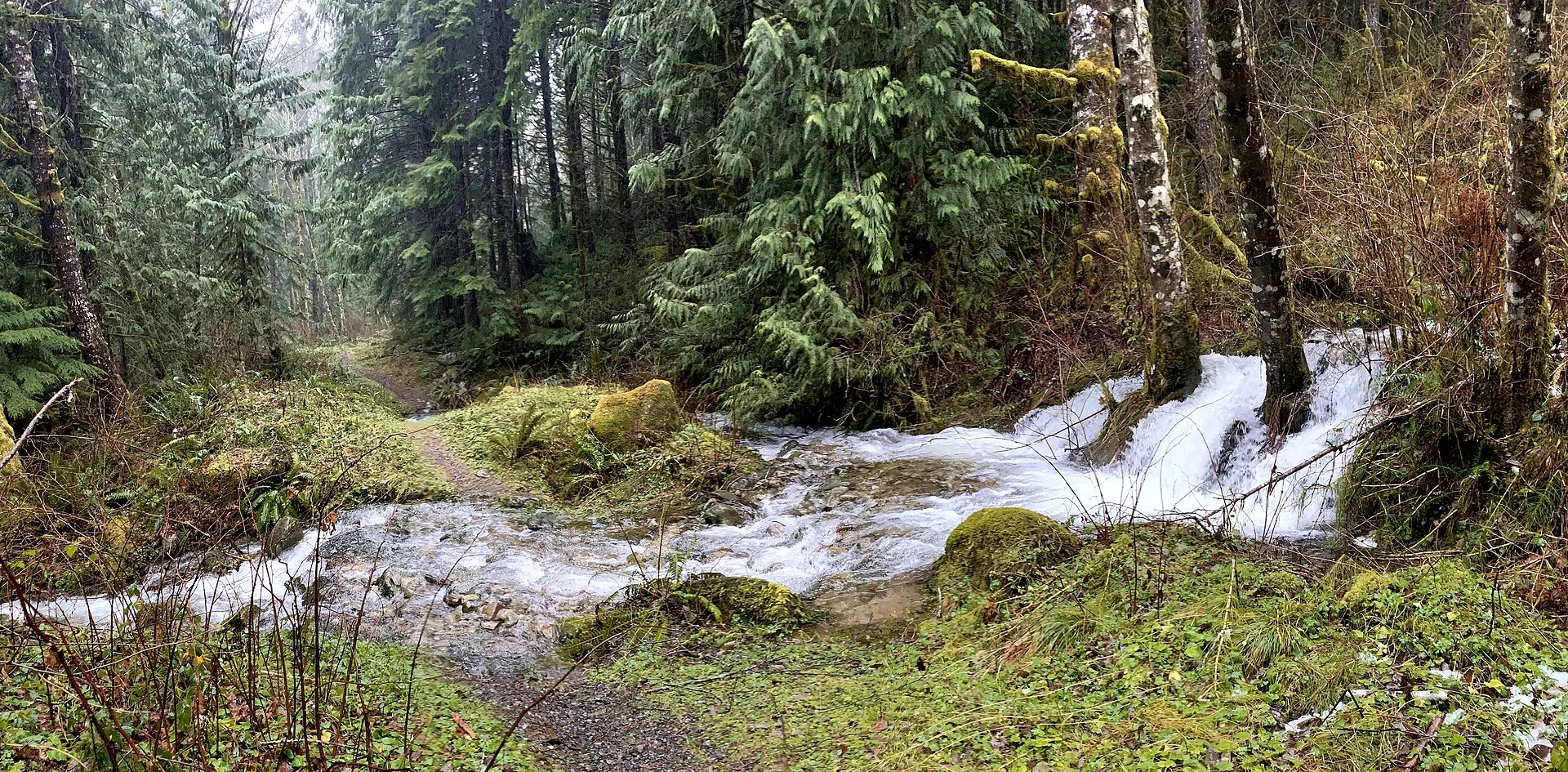
Agricultural valley routes and forested Cascades span this northeastern unincorporated area.
EXPLORE THE AREA
Loading area map…
No reviewed map positions in this scope. Try another ZIP or city.
Explore sourced neighborhood boundaries.
The map is temporarily unavailable. Use the neighborhood directory or try again later.
 ⓘ
Public school locations are shown for research, not as assigned schools. Confirm attendance, choice-program eligibility and current grades with the district for the exact home address.
Schools located inside the displayed reference boundary
Schools located inside the displayed reference boundary
Source: NCES / U.S. Department of Education · 2024-2025 directory. Data & location definitions ↗
HOUSING & EVERYDAY LIFE
These figures describe King County as a whole, not Snoqualmie Valley NE King County Area specifically. U.S. Census Bureau · ACS 2020-2024
Total population · n=2,287,171
| Group | Estimate | 90% margin |
|---|---|---|
| Under 18 | 445,594 | Not available |
| 18 to 24 | 183,581 | Not available |
| 25 to 44 | 786,115 | Not available |
| 45 to 64 | 550,982 | Not available |
| 65 and over | 320,899 | ± 3,425.2 |
Census ACS 2020-2024 · B01001 · King County
Households; annual income in 2024 dollars · n=941,054
| Group | Estimate | 90% margin |
|---|---|---|
| Under $50k | 182,511 | ± 3,863.4 |
| $50,000 to $99,999 | 202,036 | ± 3,879.8 |
| $100,000 to $149,999 | 161,737 | ± 3,296.4 |
| $150,000 to $199,999 | 114,456 | ± 2,850 |
| $200k and over | 280,314 | ± 3,290 |
Census ACS 2020-2024 · B19001 · King County
Housing units · n=1,003,284
| Group | Estimate | 90% margin |
|---|---|---|
| Detached | 501,874 | ± 3,048 |
| Attached | 54,585 | ± 1,806 |
| Multifamily | 431,831 | ± 5,551.2 |
| Mobile & other | 14,994 | ± 968.3 |
Census ACS 2020-2024 · B25024 · King County
Occupied housing units · n=941,054
| Group | Estimate | 90% margin |
|---|---|---|
| Owner-occupied | 521,805 | ± 3,926 |
| Renter-occupied | 419,249 | ± 3,837 |
Census ACS 2020-2024 · B25003 · King County
Workers age 16+; includes working from home · n=1,228,860
| Group | Estimate | 90% margin |
|---|---|---|
| Drive alone | 618,912 | ± 5,301 |
| Carpool | 86,153 | ± 3,397 |
| Public transit | 83,585 | ± 2,679 |
| Walk or bike | 66,214 | ± 2,617.1 |
| Work from home | 358,401 | ± 4,007 |
| Other | 15,595 | ± 1,277.8 |
Census ACS 2020-2024 · B08301 · King County
ACS five-year estimates describe a multi-year period, not current asking prices or a home valuation. Margins of error use the Census Bureau’s 90% confidence level.
| Measure | Estimate | Margin of error | Statistical universe |
|---|---|---|---|
| Housing units | 1,003,284 | ± 329 | Housing units |
| Detached homes | 50% | ± 0.3 pp | Housing units |
| Owner-occupied homes | 55.4% | ± 0.4 pp | Occupied housing units |
| Median owner-reported home value | $859,900 | ± $4,853 | Owner-occupied housing units; owner-reported value, not a sale price |
| Median gross monthly rent | $2,092 / mo | ± $13 / mo | Cash-rent households; includes applicable tenant-paid utilities |
| Mean one-way commute | 27.6 min | ± 0.3 min | Workers 16+ who travel to work |
U.S. Census Bureau, ACS 2020–2024, retrieved via Census Reporter. Figures cover the entire named statistical geography, including any portion outside King County; the county map is clipped to King County. Derived margins are approximations. Unavailable published margins, including controlled estimates, remain unavailable. ZIP figures describe Census ZCTAs; CDPs are statistical areas, not municipalities.
Open Census source data ↗ Census Reporter data mirror ↗Reviewed 2026-11-14
THE EVERYDAY DETAILS
The official overview includes Fall City and Snoqualmie Pass within the CSA’s unincorporated landscape around rural municipalities.
Explore ↗Snoqualmie Valley Trail follows a former railway from Duvall toward Rattlesnake Lake, passing agricultural land and valley communities.
Explore ↗Tolt-MacDonald Park near Carnation has a suspension-bridge crossing and forest paths where the Tolt and Snoqualmie rivers meet.
Explore ↗EPA 2021 index at the reference point: Snoqualmie Valley NE King County Area boundary reference point. These are the reference point’s Census block group ranks, not a score for every home or the whole neighborhood.
This King County Community Service Area is a regional service geography, separate from municipalities and individual neighborhoods.
The official overview includes Fall City and Snoqualmie Pass within the CSA’s unincorporated landscape around rural municipalities.
Snoqualmie Valley Trail follows a former railway from Duvall toward Rattlesnake Lake, passing agricultural land and valley communities.
Tolt-MacDonald Park near Carnation has a suspension-bridge crossing and forest paths where the Tolt and Snoqualmie rivers meet.
Walk the routes you would use, visit at different times and compare the details at each property. A neighborhood overview cannot replace seeing the actual home.
No. Neighborhood names and official planning areas may differ. Use the cited sources and the specific parcel when a boundary matters.
No. Check the property address directly with the relevant district. Proximity to a campus is not a guarantee of enrollment.
Contact Ryan with your area, timeline and priorities. This guide describes the area; check current listings separately.
A personal perspective
Tell us the places you are considering and the questions you want to answer.
FROM THE JOURNAL
Pair this local guide with these broader home-buying perspectives, then verify the details for a specific address. Historical reports describe their original publication period.
Bellevue, Kirkland or Redmond? Compare the route, not just the city How to verify school assignment for an Eastside homeYOUR NEXT STEP
A conversation about your priorities, your timing and the questions that matter.
Photographs are credited individually below. Each image keeps its stated license; the image license does not apply to the entire website.