
Meydenbauer Bay is used here as a waterfront area guide, not a surveyed neighborhood boundary. Bellevue’s West Bellevue planning area and Meydenbauer Bay Park project area are distinct references. Verify each property address.
Begin at the bay
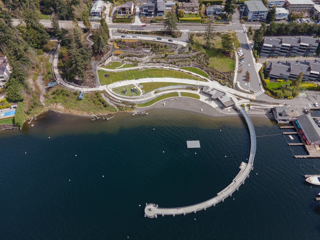
The existing park includes a curved pedestrian pier, walking paths, picnic areas and a children’s play area. Public shoreline access makes this a useful place to begin exploring the waterfront.
Understand the wider area
The official West Bellevue neighborhood-area map shows Meydenbauer Bay in relation to Lake Washington, nearby streets and the Mercer Slough landscape. Use the map to orient your visit rather than assuming every home carrying the area name is waterfront.
Separate today from tomorrow
Bellevue describes additional park expansion in phases. As reviewed on October 22, 2026, the project page says construction plans and schedule are yet to be determined. Proposed connections are not existing amenities.
Walk the actual connection
For a home search, compare the route from each candidate property to public shoreline access. Note the slope, crossings and entrance you would use. This is a visit checklist, not a claim that every nearby property has direct lake access.
The bay has a working-waterfront history
Bellevue’s account of the park’s 2019 opening notes that Meydenbauer Bay sheltered a whaling fleet during the off-season from 1914 to 1952. The restored historic whaling building gives the waterfront another layer beyond the beach photograph.
Take the guide outside.
Walk the routes you would use, visit at different times and compare the details at each property. A neighborhood overview cannot replace seeing the actual home.
- Try your own routes at the times you travel.
- Check parking, street conditions and access at the property.
- Verify school assignment with the district for the exact address.
- Separate the area’s amenities from access offered by the home.
Before you shortlist.
Does this guide define an official boundary?
No. Neighborhood names and official planning areas may differ. Use the cited sources and the specific parcel when a boundary matters.
Can I use the guide to confirm a school assignment?
No. Check the property address directly with the relevant district. Proximity to a campus is not a guarantee of enrollment.
Where can I discuss homes in this area?
Contact Ryan with your area, timeline and priorities. This local preview does not display live property inventory.