
This is the Redmond municipal neighborhood, not the entire regional Sammamish Valley and not the separate City of Sammamish.
The land uses change as you move north
The municipal profile describes manufacturing and research activity at the southern end, transitioning toward recreation and agriculture farther north. That distinction matters when reading an address described simply as Sammamish Valley. Look at the immediately adjoining parcels and how the street functions. A broad valley name cannot tell you whether the surroundings are residential, commercial or agricultural.
An existing trail connection
Redmond announced completion of the final Redmond Central Connector phase in 2025. The corridor links with the wider Eastrail system and passes the Willows Road area. For an exploratory outing, choose a verified trail access point and see how it connects to the destination you care about. Access from a particular property still needs to be checked separately.
A planned park is a different promise
Sammamish Valley Community Park is a site at NE 116th Street and Willows Road. Its official project page describes wetlands, former agricultural use and an adopted master plan, and labels the project as planning. This guide therefore does not present its proposed facilities as an operating park. A master plan records an intention; construction and opening need their own evidence.
Read a property in its immediate context
Before comparing a valley property with one on Education Hill, examine the actual land use, access and any recorded constraints. If open land is part of the appeal, ask who owns it and what rights attach to your parcel. Visit at the times you would use the area and observe nearby activity. Avoid assigning a single residential character to this mixed landscape.
Use the river crossing as a route checkpoint
NE 90th Street crosses the Sammamish River, and Redmond’s project directory lists the bridge-deck overlay as completed. For a home search, use that crossing as a concrete checkpoint when comparing destinations on opposite sides of the river.
A closer look
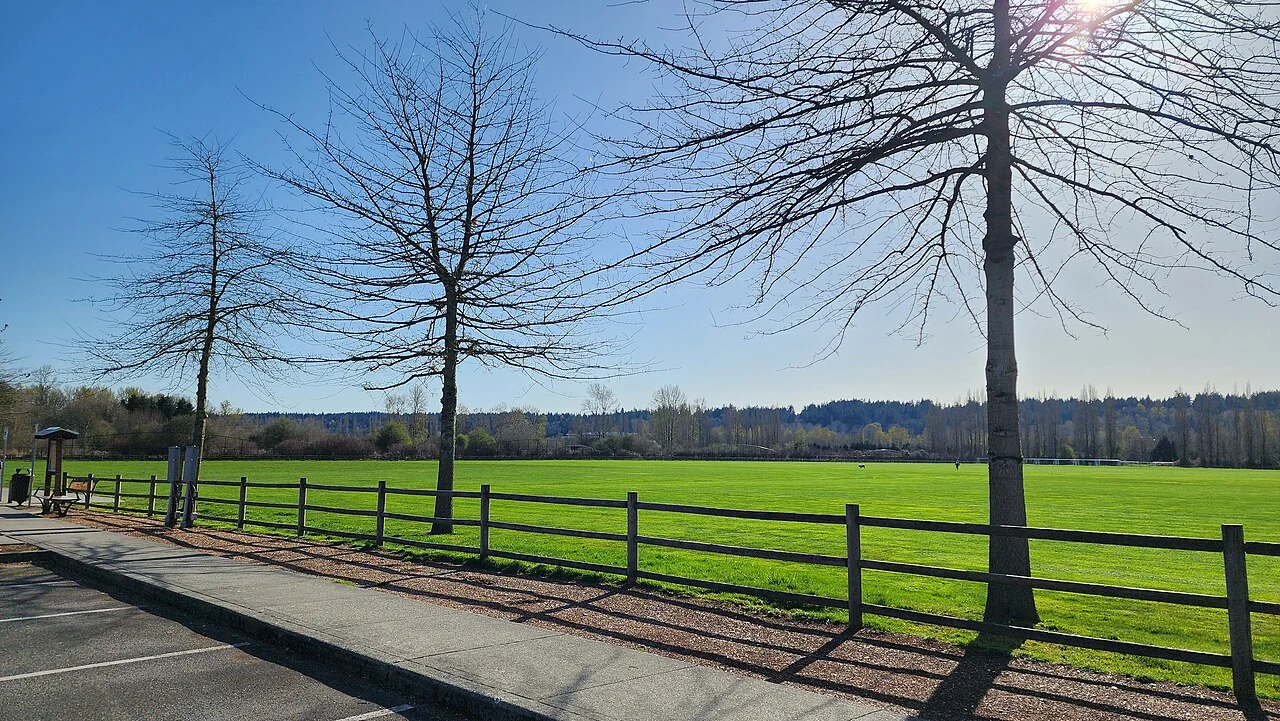
Take the guide outside.
Walk the routes you would use, visit at different times and compare the details at each property. A neighborhood overview cannot replace seeing the actual home.
- Try your own routes at the times you travel.
- Check parking, street conditions and access at the property.
- Verify school assignment with the district for the exact address.
- Separate the area’s amenities from access offered by the home.
Before you shortlist.
Does this guide define an official boundary?
No. Neighborhood names and official planning areas may differ. Use the cited sources and the specific parcel when a boundary matters.
Can I use the guide to confirm a school assignment?
No. Check the property address directly with the relevant district. Proximity to a campus is not a guarantee of enrollment.
Where can I discuss homes in this area?
Contact Ryan with your area, timeline and priorities. This local preview does not display live property inventory.