
This page covers Kirkland’s official Bridle Trails neighborhood. The broader Bridle Trails name is also used around the neighboring Bellevue area; verify municipal jurisdiction for each address.
A park built around horses
Washington State Parks lists four equestrian arenas and 28 miles of trails at Bridle Trails State Park. Its entrance address is 5300 116th Avenue NE. That makes the park a specific place to test during a visit, rather than a generic promise of greenery attached to every listing.
Choose your route before you arrive
The park names Raven, Trillium and Coyote as signed walking routes. Horses have priority, dogs must be leashed, and bicycles are not allowed on the trails. If cycling is central to your routine, investigate a separate street route instead of drawing a shortcut through the forest on a map.
Beyond the state park
The neighborhood plan also discusses Snyder’s Corner Park and community use of the Ben Franklin Elementary playfield outside school hours. Suggested new features at Snyder’s Corner are planning ideas, not a list of facilities already built. Check the specific public entrance and current access conditions for any stop you intend to use.
A property visit with a different checklist
For an individual home, walk from the front door to the park access you would use. Observe driveway width, drainage, outdoor storage and the relationship between trees and usable yard space. If keeping horses is part of the plan, investigate the property’s applicable rules and facilities separately; the neighborhood name alone does not establish that use.
Plan two kinds of visit
Try a normal weekday outing and, if relevant, a scheduled equestrian event. Compare your experience of parking, entrances and the street outside the home. This is our suggested way to evaluate the location, not a claim about traffic at every property. Review the park’s current hours and visitor requirements before going.
The forest survived through deliberate protection
Washington State Parks records that community petitions led to land being reserved for recreation in 1932, and Depression-era relief workers began building trails and fences in 1933. Bridle Trails’ forest setting is therefore also a story of public choices and long-term stewardship.
A closer look
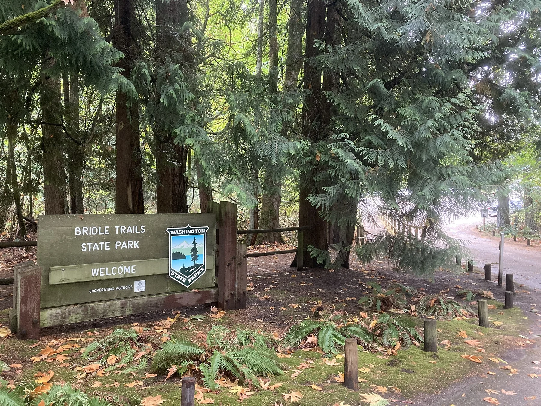
Take the guide outside.
Walk the routes you would use, visit at different times and compare the details at each property. A neighborhood overview cannot replace seeing the actual home.
- Try your own routes at the times you travel.
- Check parking, street conditions and access at the property.
- Verify school assignment with the district for the exact address.
- Separate the area’s amenities from access offered by the home.
Before you shortlist.
Does this guide define an official boundary?
No. Neighborhood names and official planning areas may differ. Use the cited sources and the specific parcel when a boundary matters.
Can I use the guide to confirm a school assignment?
No. Check the property address directly with the relevant district. Proximity to a campus is not a guarantee of enrollment.
Where can I discuss homes in this area?
Contact Ryan with your area, timeline and priorities. This local preview does not display live property inventory.