
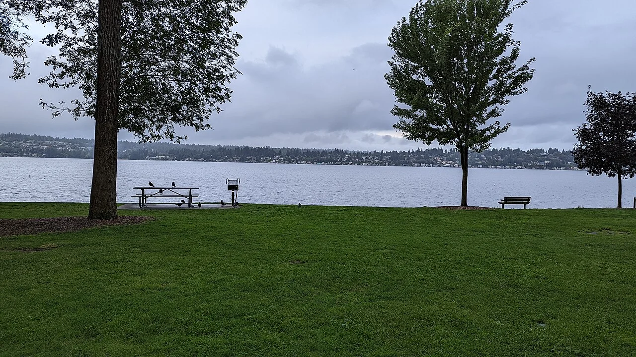
Finn Hill is the official neighborhood. Holmes Point and Inglewood are useful local area names within its broader context, not separate official neighborhood counts in this directory.
Understand the approaches
The neighborhood plan identifies Juanita Drive, Simonds Road/NE 145th Street and the NE 132nd/90th Street approach as key ways into Finn Hill. Try the relevant route at the times that matter to you. A straight-line distance to another destination says little about how the particular entrance to the hill fits your routine.
Several parks, several managers
The adopted plan identifies Big Finn Hill Park, O.O. Denny Park and a portion of Saint Edward State Park in Finn Hill’s park geography. These places are not one continuous facility under a single operator. Select a specific entrance, check the appropriate agency’s current information and leave room to explore more than one setting.
Keep the Green Loop in the right tense
The plan describes a Green Loop Corridor as a goal to connect parks, natural areas and trails. It should not be read as a guarantee of a fully completed public loop. When evaluating a home near a proposed connection, verify what is open now and whether the route crosses public access or private land.
Read the lot as carefully as the canopy
Our suggested home visit includes the driveway, the usable outdoor area and the transition from the street into the site. Bring questions about drainage and maintenance to the appropriate property professionals. A wooded outlook can be an attractive part of a visit, but it is not a substitute for evaluating the specific parcel.
Build a realistic outing
Choose one park trip and one everyday errand, then rehearse both from the address. Include the return journey instead of testing only the downhill or outward direction. Record what you personally notice about crossings, grades and access. This gives you an address-level comparison without relying on universal claims about convenience or commuting times.
Two commercial centers, not one hilltop destination
Finn Hill’s adopted plan distinguishes the northern Inglewood shopping area from the southern Holmes Point Residential Market area.
Take the guide outside.
Walk the routes you would use, visit at different times and compare the details at each property. A neighborhood overview cannot replace seeing the actual home.
- Try your own routes at the times you travel.
- Check parking, street conditions and access at the property.
- Verify school assignment with the district for the exact address.
- Separate the area’s amenities from access offered by the home.
Before you shortlist.
Does this guide define an official boundary?
No. Neighborhood names and official planning areas may differ. Use the cited sources and the specific parcel when a boundary matters.
Can I use the guide to confirm a school assignment?
No. Check the property address directly with the relevant district. Proximity to a campus is not a guarantee of enrollment.
Where can I discuss homes in this area?
Contact Ryan with your area, timeline and priorities. This local preview does not display live property inventory.